Field Geometry
You can define your field geometry using three methods: Draw, Select, or Import. These options provide flexibility for precise and efficient field planning. Feel free to explore and choose the one that works best for you.
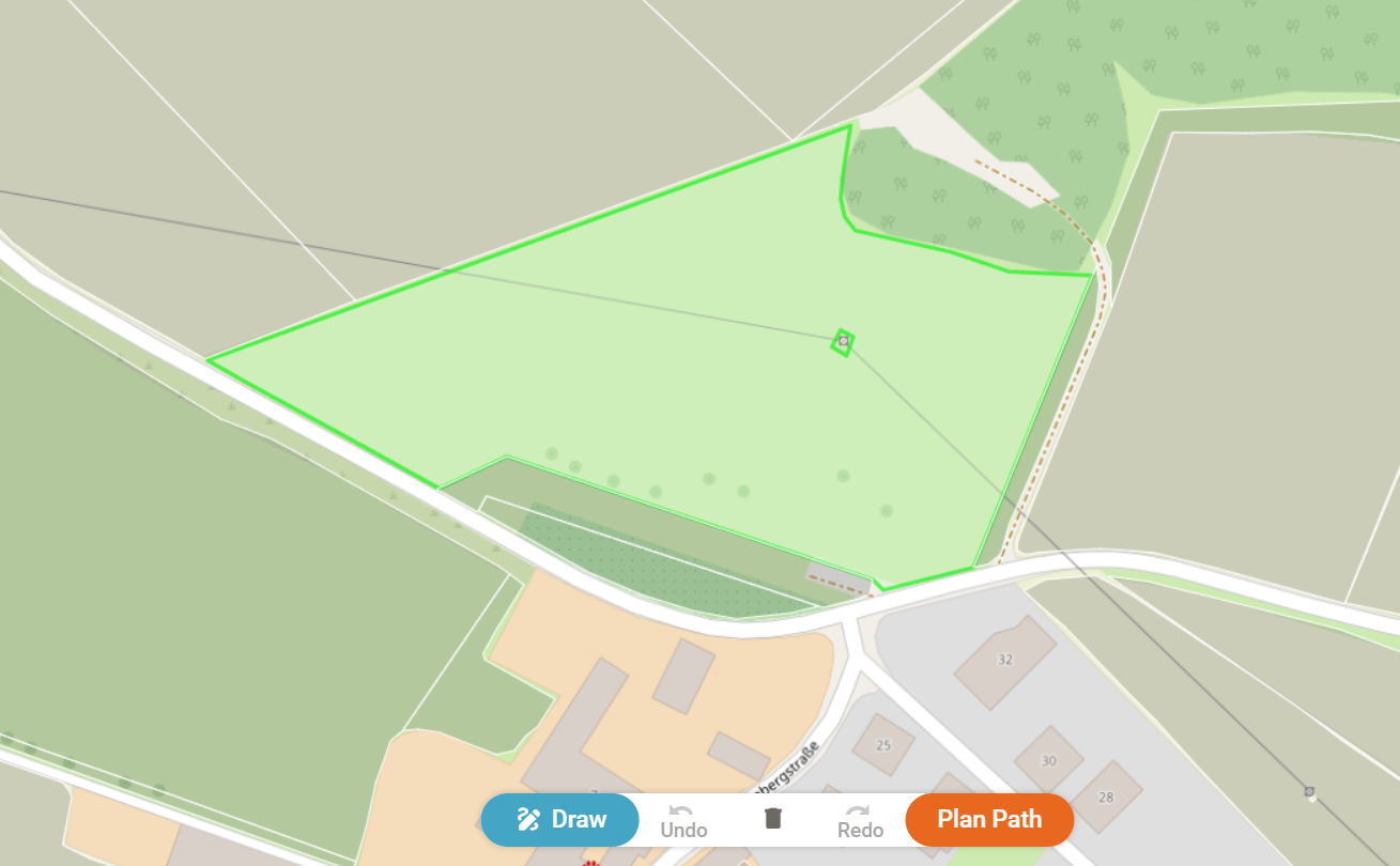
Draw
Choose the Draw option to manually create your desired field shape directly on the map. This is useful when predefined field borders are unavailable or when you need to customize the area.
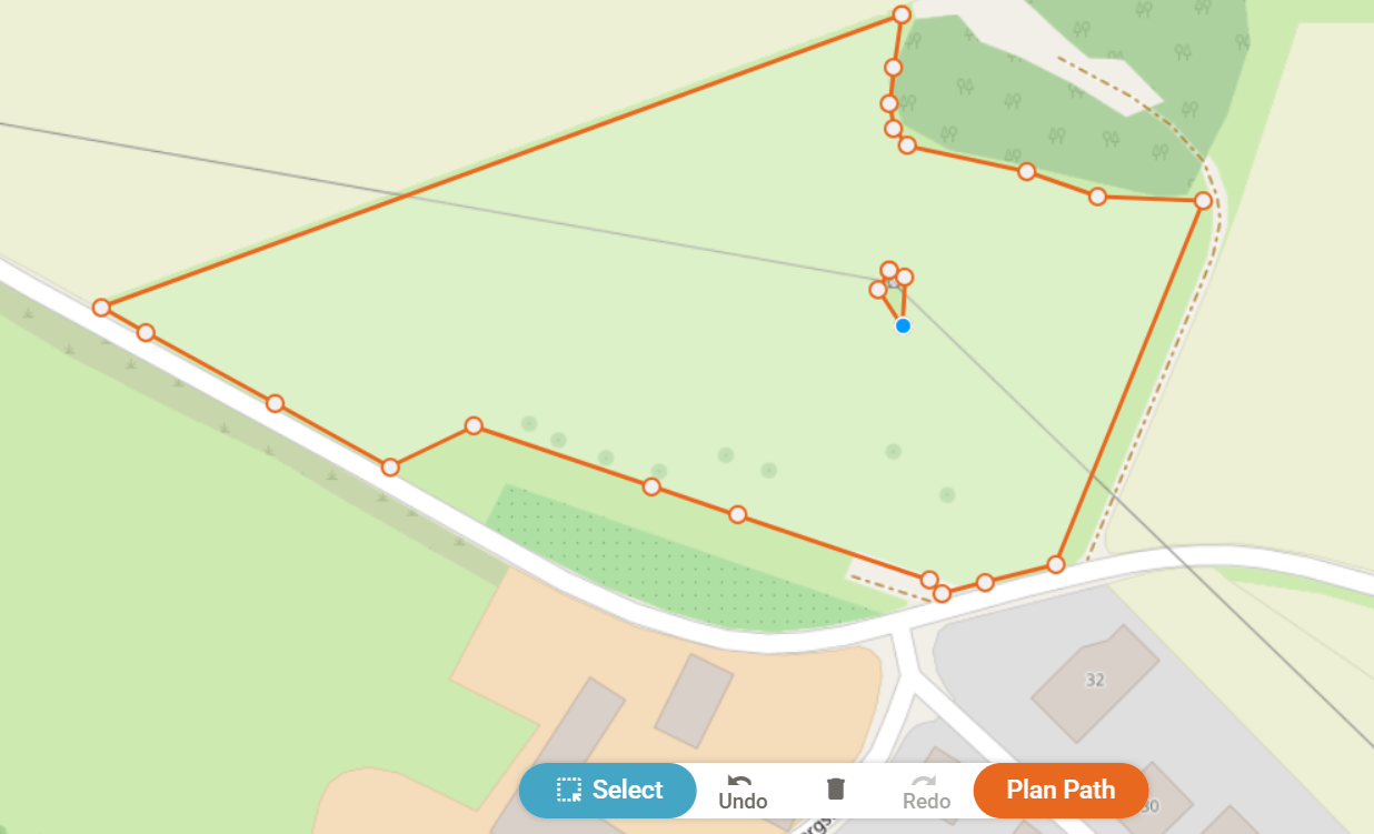
Select
Use the Select option to automatically retrieve existing field borders. In Austria, official field borders are available and can be selected directly. Currently, this feature is limited to Austria, but additional regions may be supported in the future. Learn more about field borders.
Import (Under Development -> Coming Soon)
The Import feature allows you to add a field boundary from your GPS measurements or import data from other programs such as QGIS or a Farm Management Information System (FMIS).
Supported Formats
You can import field boundaries using one of the following formats:
- ISO-XML (.isoxml)
- Shapefile (.shp)
- GeoJSON (.geojson)
Once imported, simply select the data to start track planning for your field.